






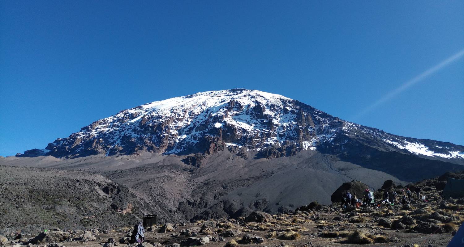
Mount Kilimanjaro
Rongai Route
- Days
- 7
- Distance
- 65 km
- Summit
- 5,895 m
- Difficulty
- Moderate
- Success
- 80%
Rongai Route Overview
The Rongai Route is the only path approaching Kilimanjaro from the north, near the Kenyan border. This quieter route offers a unique wilderness experience with drier conditions and a gentler gradient, making it an excellent choice during the rainy season.
Why Choose Rongai
Rongai sees far fewer trekkers than southern routes, offering a more remote and peaceful experience. The northern approach receives less rainfall, making it the best option during wetter months. The route passes through pine forests and open moorland with views toward Kenya before joining the Marangu descent path.
Day-by-Day Itinerary
- Day 1: Rongai Gate (1,950m) to Simba Camp (2,625m)
- Day 2: Simba Camp to Second Cave (3,450m)
- Day 3: Second Cave to Kikelelwa Camp (3,600m)
- Day 4: Kikelelwa to Mawenzi Tarn (4,330m)
- Day 5: Mawenzi Tarn to Kibo Hut (4,703m)
- Day 6: Summit night — Uhuru Peak (5,895m) and descent to Horombo
- Day 7: Horombo to Marangu Gate
Altitude profile
From 1,950 m to 5,895 m
Climb high, sleep low: the shape of the route is what helps you acclimatise.
Route map & itinerary
Day by day on the Rongai Route
Camp positions are approximate. Tap a day to see it on the map.
- 1
- 2
- 3
- 4
- 5
- 6
- 7
Trekking Routes
More Ways to Climb Mount Kilimanjaro
Machame Route
The Machame Route, known as the "Whiskey Route," is the most popular path to Kilimanjaro's summit. This 7-day trek offer...
- Days
- 7
- Distance
- 62 km
- Level
- Moderate
Lemosho Route
The Lemosho Route is widely considered the most scenic and best route for acclimatization on Kilimanjaro. Starting from...
- Days
- 8
- Distance
- 70 km
- Level
- Moderate
Marangu Route
The Marangu Route, nicknamed the "Coca-Cola Route," is the oldest and most established path up Kilimanjaro. It is the on...
- Days
- 6
- Distance
- 64 km
- Level
- Moderate
Northern Circuit
The Northern Circuit is Kilimanjaro's longest route and offers the highest summit success rate at 95%. This 9-day trek c...
- Days
- 9
- Distance
- 90 km
- Level
- Moderate
Umbwe Route
The Umbwe Route is the steepest and most direct path to Kilimanjaro's summit. Known as the most challenging route, it is...
- Days
- 6
- Distance
- 53 km
- Level
- Difficult